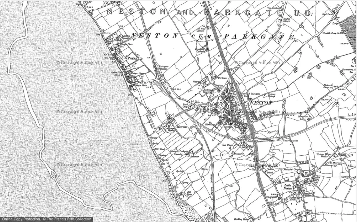
Map of Parkgate Ward
OLD Maps of Parkgate
There are a number of interesting old maps featuring Parkgate. These are sourced from a number of places and are an interesting way to follow the history of Parkgate.
From the Cheshire Historic Towns Survey - an Archaeological assessment
English Heritage mapping of sites and monuments in the Parkgate and Neston areas
English Heritage mapping of Parkgate and Neston from early Medieval Times to the 21st Century
Burdett’s Chart - an early navigation map (south up) of the Dee Estuary c 1771
Last Updated February 2024

